Newfoundland

Williams Project

Property Details

Size: 1,551 Ha

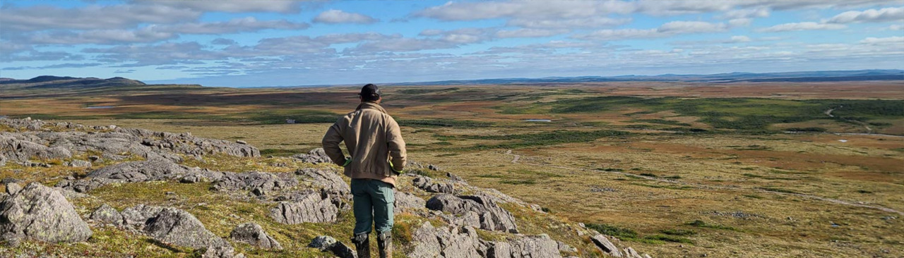
Location: Approximately 45km west of Gander, Newfoundland and Labrador (NFLD)

Access: Proximal to the full-service local hub of Gander, NFLD. Property is crosscut by road network including a new high voltage transmission line as well as an extensive trail network for year-round exploration.

Phase I Drilling

The 2022 Phase I drill program tested gold-in-soil and trenching anomalies highlighted in the 2020 to 2022 field programs.  The Phase I drill program successfully highlighted numerous high grade and broad gold mineralization associated with gold-in-soil anomalies (Table 1)1.

  • 29 holes were drilled for a total of 4,186 meters
  • Identified a 1.5 kilometer mineralized corridor within the Appleton Fault Corridor which remains open in all directions.
  • Gold mineralization (minimum 1 g/m Au) was encountered in over 90% of the holes drilled in 2022.
  • Drilling was focused on testing soil anomalies and following up on trenching done in 2021 primarily with short 100-150 meter holes.
  • WIL-22-14: 0.5 meters of 50.45 g/t Au from 11 to 11.5 meters (Photos 1 & 2)
  • WIL-22-12: 37.8 meters of 0.7 g/t Au from 6.24 to 44.07 meters
  • WIL-22-21: 14.4 meters of 1.51 g/t Au from 88.10 to 102.50 meters, including 4.6 meters of 2.49 g/t Au
  • WIL-22-20: 30.0 meters of 0.62 g/t Au from 64.00 to 94.00 meters
Visible gold within quartz carbonate veining including pyrite and arsenopyrite mineralization and sericite alteration in the host rock within WIL-22-14 11.00-11.50m

Photo 1 – Visible gold within quartz carbonate veining associated with pyrite and arsenopyrite mineralization and sericite alteration in the host rock within WIL-22-14 (11.00 – 11.50 meters)

Photo 2 – Visible gold (mm scale) close up in WIL-22-14 11.00-11.50m

Photo 2 – Visible gold (mm scale) close up in WIL-22-14 (11.00 – 11.50 meters)

Figure 1 - Williams Property Location Map

Williams Property Location Map

Figure 2 - Drilling 2023 Holes Results

Williams Property Drilling 2022 Holes Results

Table 1 Williams Project Drilling Intervals

Table 1: Williams Project Drilling Intervals1

2020 – 2022 Field Program

  • Before acquiring the Williams Gold Property in 2020 only a limited amount of historical work was done on the Property including float samples which assayed up to 52 g/t Au2.
  • Golden Ridge began with a Property wide 100x100m soil sample grid which highlighted numerous areas anomalous gold (>25 ppb), including 609 ppb Au in one sample.
  • In 2021 and 2022 a high density 25x25m soil sampling grid focusing on key anomalies was completed with values up to 1.5 g/t Au reported.
  • Prospecting discovered numerous anomalous floats samples including including one assaying 281 g/t Au.
  • Extensive trenching was conducted in bedrock underlying key soil anomalies with results that included 0.5m of 1.92g/t Au and 3m of 0.40 g/t Au


Williams Project 2020 -2022 Soil Sampling

Williams Property 2020 – 2022 Sample Results

Geology

The Williams Property hosts a polymetallic discovery with an extensive area of quartz-veined, brecciated, granite and sediment float, and subcrop, with float samples ranging to 52 g/t Au2.  The Williams Property is located within the Botwood Basin in the prolific Exploits Subzone. The Williams Property is between the GRUB and Dog Bay Lines which are large continental sutures formed at the closing of the Iapetus Ocean. The Williams Property lies within New Found Gold’s Queensway Project along the southern extension of the Appleton Fault. The Appleton Fault is known to be the key mineralizing structure responsible for New Found Gold Corp. drill intercept of 92.9 g/t over 19.0m intercept (New Found Gold Preliminary Prospectus 06/23/2020).

The Williams Property is underlain by Cambrian to Ordovician siliciclastic sediments of the Davidsville Group and Silurian siliciclastic sediments of the Indian Islands Group. Mineralization throughout the area is concentrated in mineralized structures within the Davidsville Group (Appleton and JBP Faults) as well as along the contact with the Indian Islands Group. In prospects proximal to the Property, mineralization occurs in quartz veins, associated with arsenopyrite stringers, hosted in strongly foliated and potentially folded Davidsville Group siltstones, and in epithermal-style quartz veins within alteration systems associated with structural contacts.  An extensive till anomaly with historical analyses of up to 480 ppb Au, suggests the presence of a mineralized source on the Williams Property.

Geological Overview Map

Williams Property Geological Overview Map

Previous Work

In the 1980’s Noranda completed extensive regional exploration programs in the region including prospecting, mapping, geophysical and geochemical surveys, trenching and diamond drilling.1  This led to the discovery of numerous Au-Ag showings as well as what became the Beaver Brook antimony mine, 5km to the west of the Williams Property. In 2022 till and stream-sampling surveys were completed by Sparton Resources which yielded anomalous Au-in-till samples, as well as anomalous Au- and As-in-stream samples downstream from the center of the Williams Property.  In 2019, prospectors discovered float samples ranging from 0.49 g/t to 51.6 g/t Au along a newly constructed electrical transmission line through the Williams Property.

Footnotes

1The intervals reported in these tables represent drilling intersects and insufficient data are available at this time to state the true thickness of the mineralized intervals.

2Historical information contained in this presentation, maps or figures regarding the Company’s project or adjacent properties are reported for historical reference only and cannot relied upon be as a Company’s QP, as defined under NI 43-101 has neither prepared nor verified the historical information.

© Copyright - Golden Ridge Resources